Airfield search

Mattishall

Major Airfield
Also known as: Mattishall Aerodrome / Mattishall Landing Ground / RAF Mattishall / RFC Mattishall
County: Norfolk
Current Status: Farmland
Date: 1915 (earliest known date November) - 1919 (last known date May)
Current Use: Disused
Used By: RAF / RFC
Landing Surface Type(s): Unpaved
Aircraft Role(s): Fighter

The following organisations are either based at, use and/or have at least potentially significant connections with the airfield (as at 01/07/2013):

  • Brandon Parva, Coston, Runhall & Welborne Parish Council
  • East Tuddenham Parish Council
  • Mattishall Parish Council

Main unit(s) present:

  • No 18 Sqn
  • No 51 Sqn

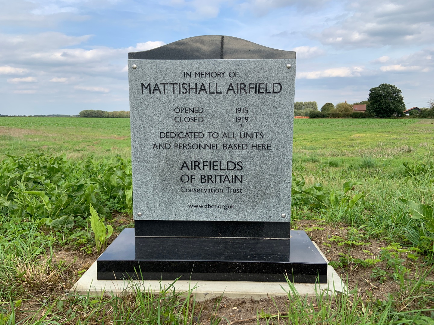
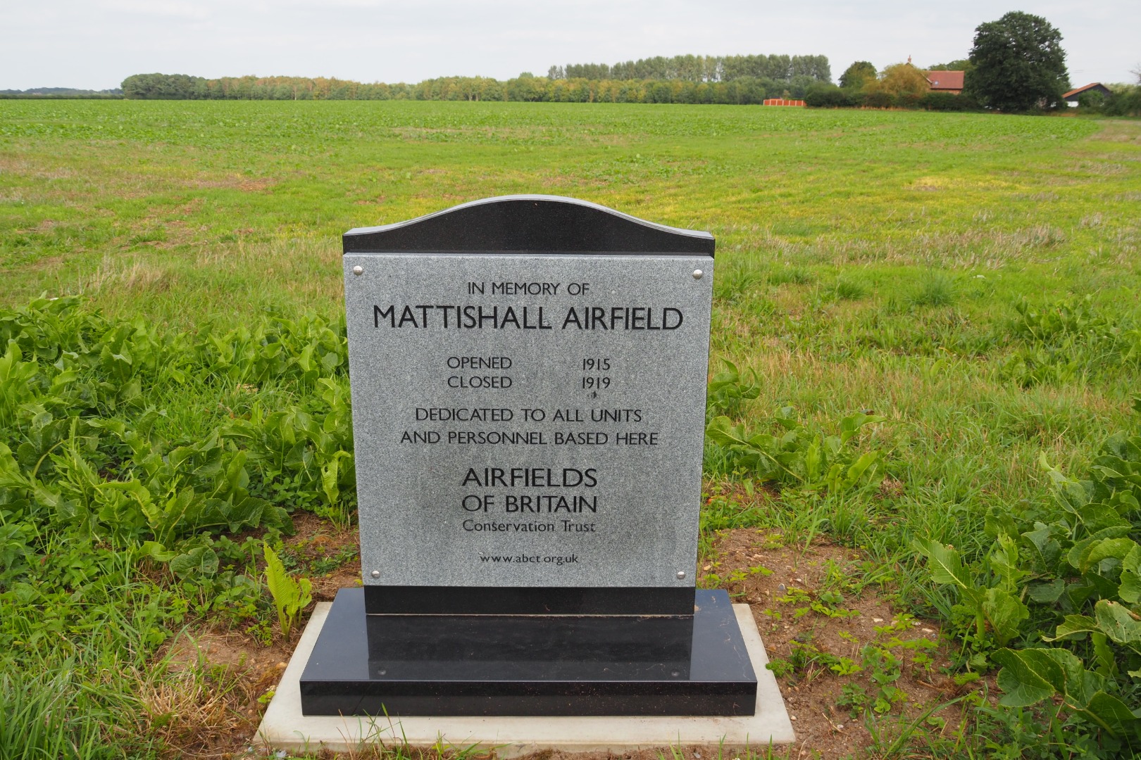
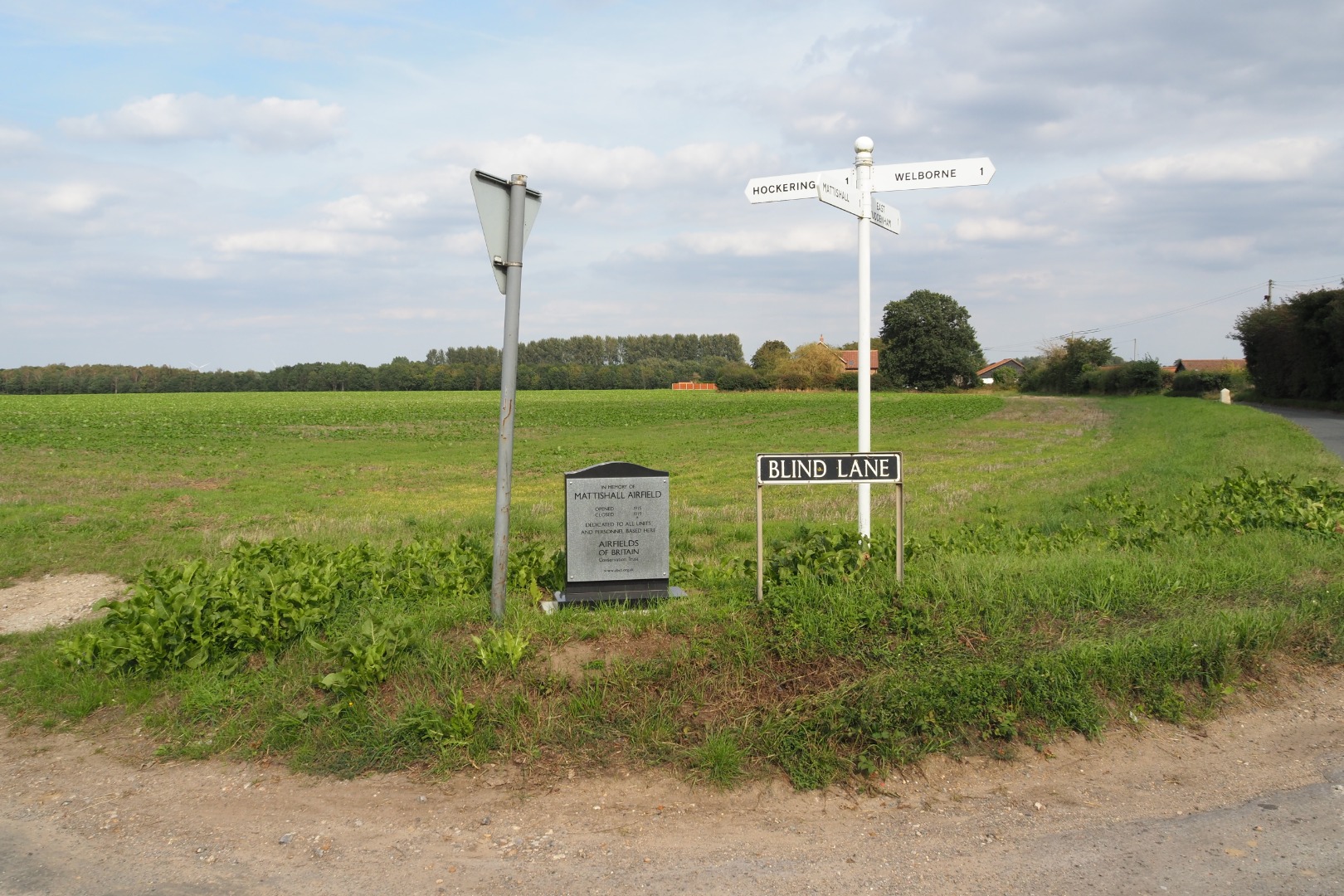
Photographs of the plaque at Mattishall, 2020. Courtesy of Richard Flagg

Parent(s)/HQ Airfield(s):

Marham

Home Defence Flight Station(s):

Harling RoadMarham / Tydd St Mary

Home Defence Landing Ground(s):

Bedfield / Earsham / Freethorpe / Frettenham / Gooderstone Warren / Newmarket Heath / SaxthorpeScoulton / Sporle / Taverham / Tibenham / West Rudham

Search for an airfield

mapglass
[wpdreams_ajaxsearchlite]
Scroll to Top