Airfield search
Hampstead Norris

| Also known as: | Hampstead Norreys / Hampstead Norris Aerodrome / Haw Farm / Haw Farm Airstrip / RAF Hampstead Norris / RAF Station, Hampstead Norris |
| County: | West Berkshire |
| Current Status: | Air navigation aid / Aviation / Farmland (main position) |
| Date: | 1940 - 7 October 1946; subsequent limited flying |
| Current Use: | Limited flying |
| Used By: | RAF (main user) / Civil (limited flying) |
| Landing Surface Type(s): | Paved, later unpaved |
| Aircraft Role(s): | Airborne forces/transport / General aviation (limited flying) / Trainer (main role) |
The following organisations are either based at, use and/or have at least potentially significant connections with the airfield (as at 01/09/2011):
- Hampstead Norreys Parish Council
Main unit(s) present:
- No 13 OTU
- No 15 OTU
- No 42 OTU
- No 271 Sqn
- No 1516 BAT Flight
- No 1526 BAT Flight
- Operational and Refresher Training Unit
- Station Flight, Hampstead Norris
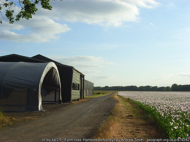
Temporary airfield buildings and former perimeter track at Hampstead Norris, 30 June 2008.
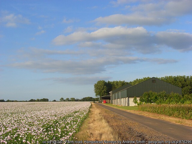
Part of the former perimeter track at Hampstead Norris, 30 June 2008.
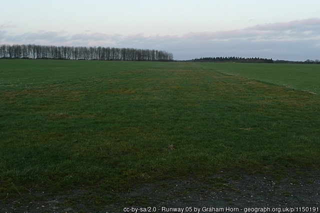
Part of a runway at Hampstead Norris, 18 January 2009.
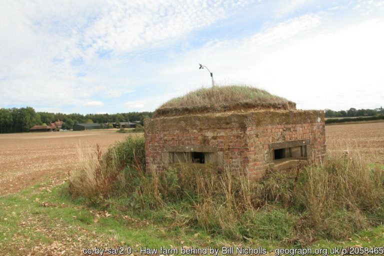
A pillbox at Hampstead Norris, 22 August 2010.
A runway at Hampstead Norris, 22 August 2010.
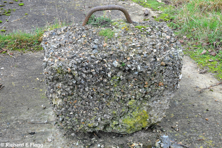
An aircraft tie-down at Hampstead Norris, 21 November 2011. © Richard Flagg
Entrance at the south of the airfield, 21 November 2011. © Richard Flagg
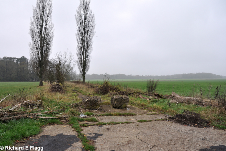
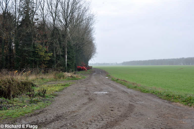
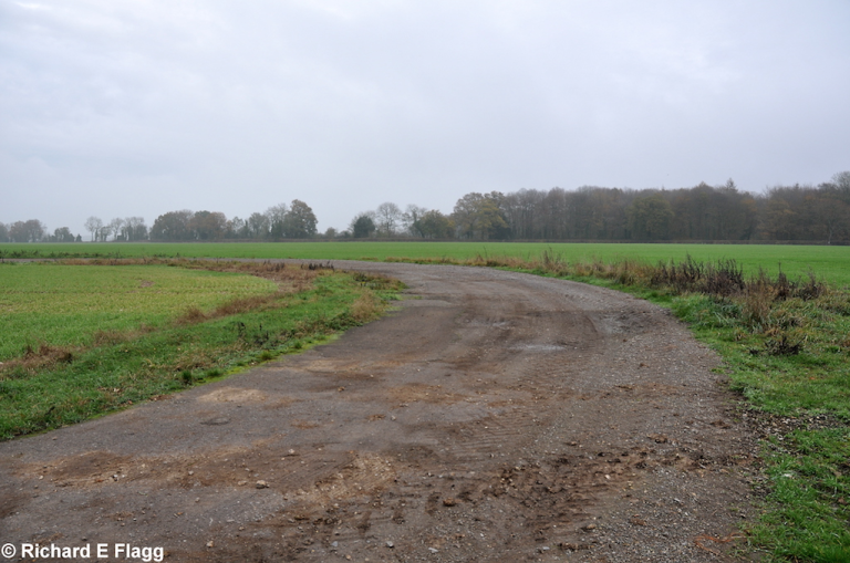
Taxiway at the east of the airfield, looking west away from the runway 32 threshold, 21 November 2011. © Richard Flagg
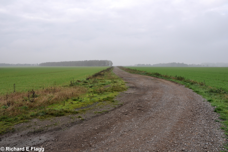
Taxiway at the east of the airfield, looking east at the runway 32 threshold, 21 November 2011. © Richard Flagg
Runway 14:32, looking north-west from the runway 32 threshold, 21 November 2011. © Richard Flagg
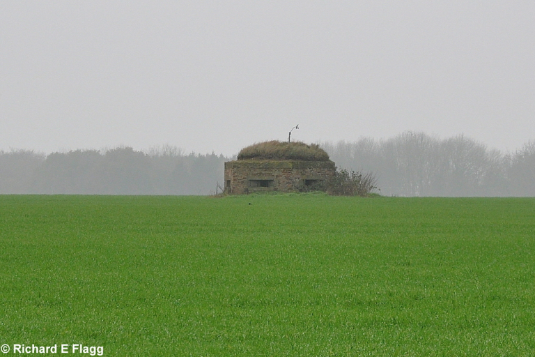
Pillbox at the south of the airfield, 21 November 2011. © Richard Flagg
| Parent(s)/HQ Airfield(s): |

