Airfield search

Hampstead Norris

Major
Also known as: Hampstead Norreys / Hampstead Norris Aerodrome / Haw Farm / Haw Farm Airstrip / RAF Hampstead Norris
County: West Berkshire
Current Status: Air navigation aid / Aviation / Farmland (main position)
Date: 1940 - 7 October 1946; subsequent limited flying
Current Use: Limited flying
Used By: RAF (main user) / Civil (limited flying)
Landing Surface Types: Paved, later unpaved
Aircraft Roles: Airborne forces/transport / General aviation (limited flying) / Trainer (main role)

The following organisations are either based at, use and/or have at least potentially significant connections with the airfield (as at 01/09/2011):

  • Hampstead Norreys Parish Council

Main unit(s) present:

  • No 13 OTU
  • No 15 OTU
  • No 42 OTU 
  • No 271 Sqn
  • No 1516 BAT Flight
  • No 1526 BAT Flight
  • Operational and Refresher Training Unit
001geograph-876282-by-Andrew-Smith.jpg

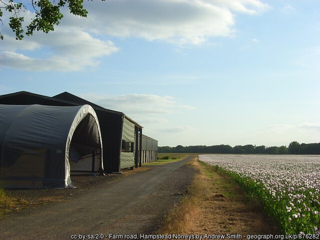
Temporary airfield buildings and former perimeter track at Hampstead Norris, 30 June 2008.

002geograph-876296-by-Andrew-Smith.jpg

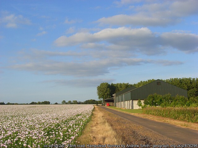
Part of the former perimeter track at Hampstead Norris, 30 June 2008.

003geograph-1150191-by-Graham-Horn.jpg

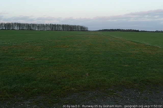
Part of a runway at Hampstead Norris, 18 January 2009.

004geograph-2058465-by-Bill-Nicholls.jpg

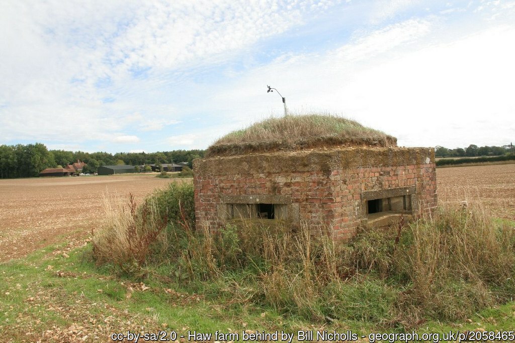
A pillbox at Hampstead Norris, 22 August 2010.

005geograph-2061738-by-Bill-Nicholls.jpg

A runway at Hampstead Norris, 22 August 2010.

006Aircraft tie-down - 21 November 2011.png

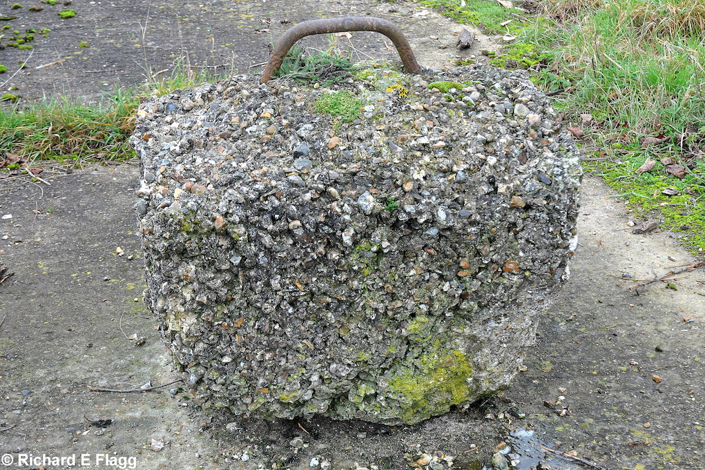
An aircraft tie-down at Hampstead Norris, 21 November 2011. © Richard Flagg

008Entrance at the south of the airfield - 21 November 2011.png

Entrance at the south of the airfield, 21 November 2011. © Richard Flagg

009Taxiway at the east of the airfield. Looking west away from the runway 32 threshold - 21 November 2011.png

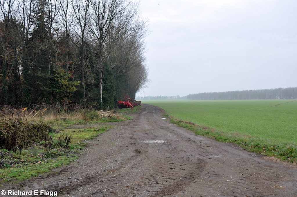
Taxiway at the east of the airfield, looking west away from the runway 32 threshold, 21 November 2011. © Richard Flagg

010Taxiway at the east of the airfield. Looking east at the runway 32 threshold - 21 November 2011.png

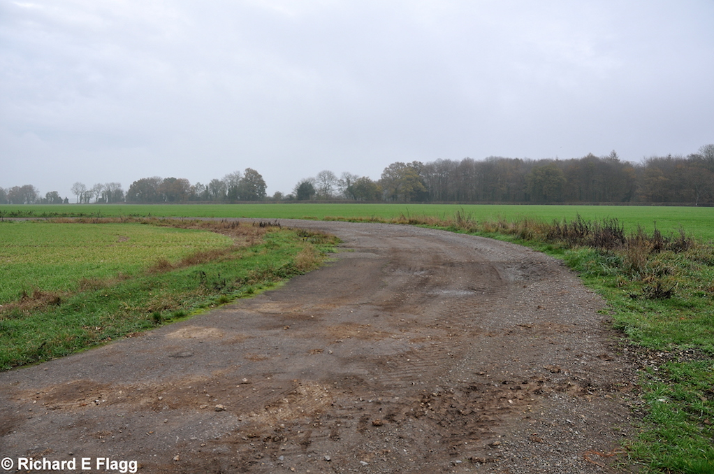
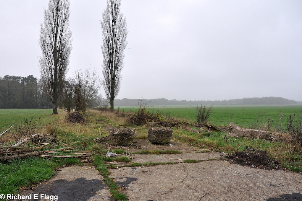
Taxiway at the east of the airfield, looking east at the runway 32 threshold, 21 November 2011. © Richard Flagg

011Runway 14:32. Looking north west from the runway 32 threshold - 21 November 2011.png

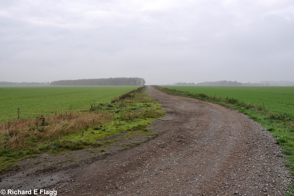
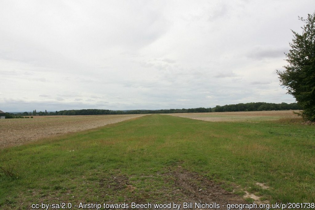
Runway 14:32, looking north-west from the runway 32 threshold, 21 November 2011. © Richard Flagg

012Pillbox at the south of the airfield - 21 November 2011.png

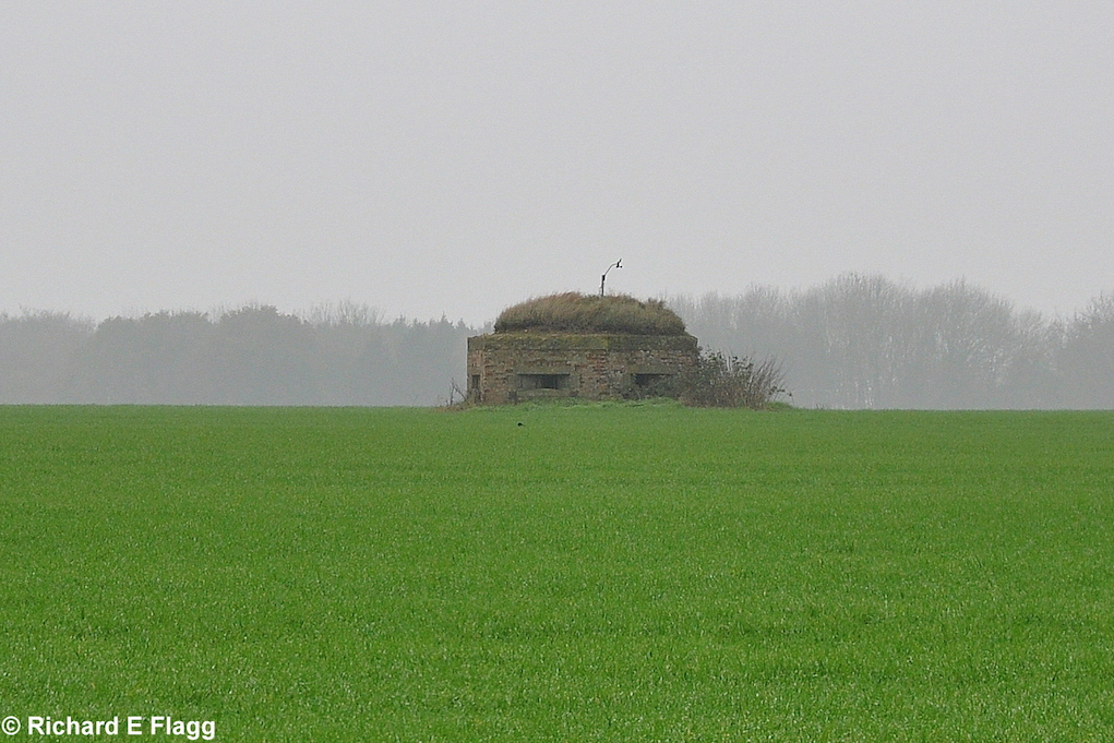
Pillbox at the south of the airfield, 21 November 2011. © Richard Flagg

Parent(s)/HQ Airfield(s):

Harwell

© 2024 ABCT All rights reserved.
Airfields of Britain Conservation Trust is registered in England and Wales. Registered Office: Suite 1, 3rd Floor, 11-12 St. James Square, London, SW1Y 4LB
Registered Company No. 08940364. Registered Charity No (England and Wales): 1156877. Registered Charity No (Scotland): SC041123