
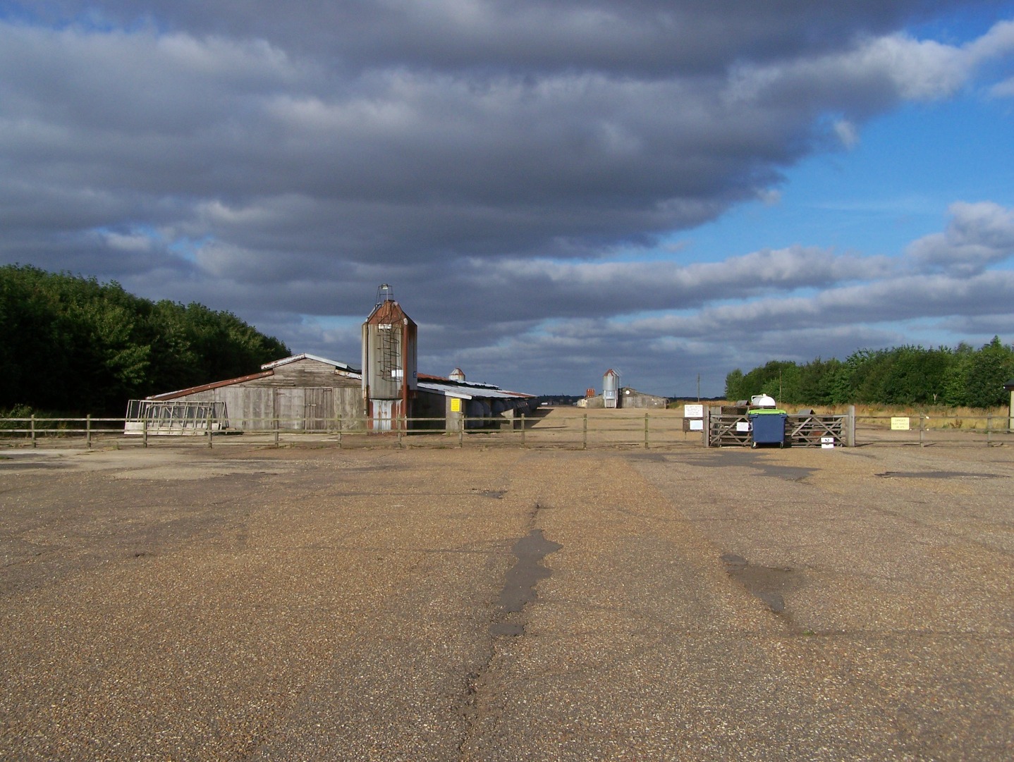
The west side of the main runway at Attlebridge, now with broiler houses in place, 14 July 2006.
Runway 04:22, looking north east from the runway 04 threshold, 17 August 2006. © Richard Flagg
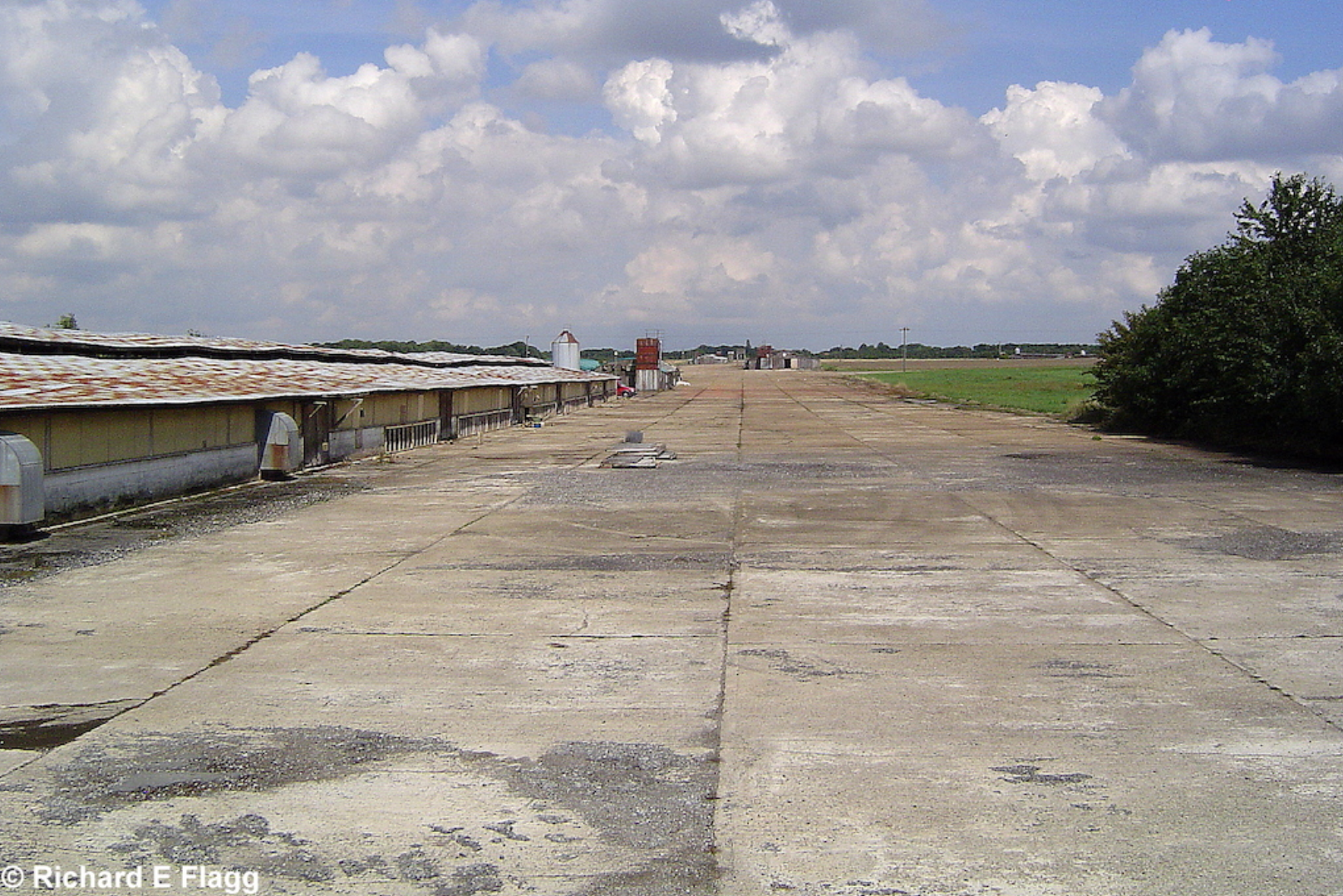
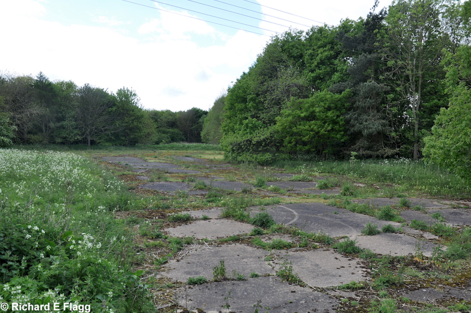
Taxiway at the east of the airfield, looking south from runway 14:32, 17 August 2006. © Richard Flagg
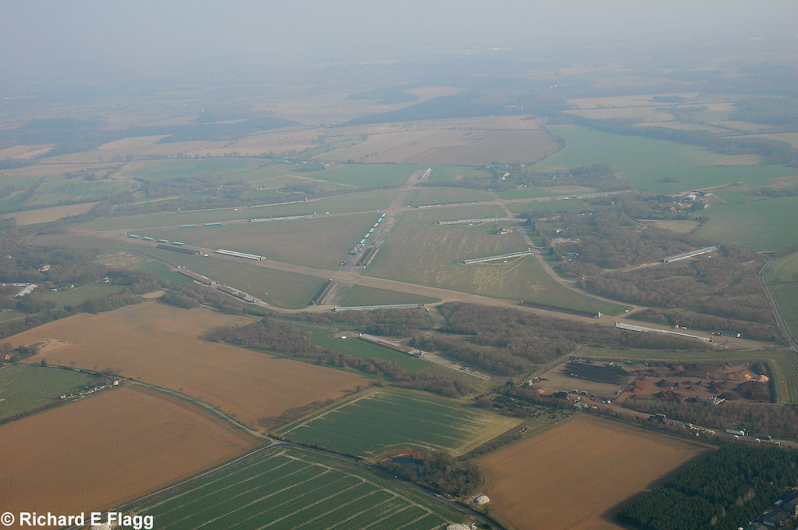
Aerial view of Attlebridge, 21 March 2009. © Richard Flagg
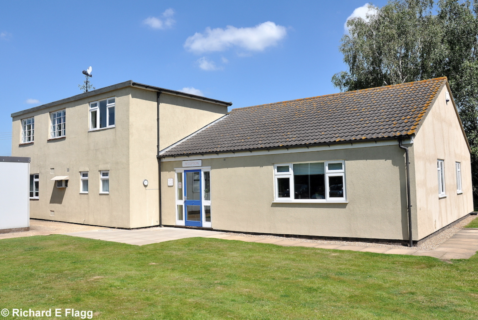
Operations Block at Attlebridge, 23 June 2009. © Richard Flagg
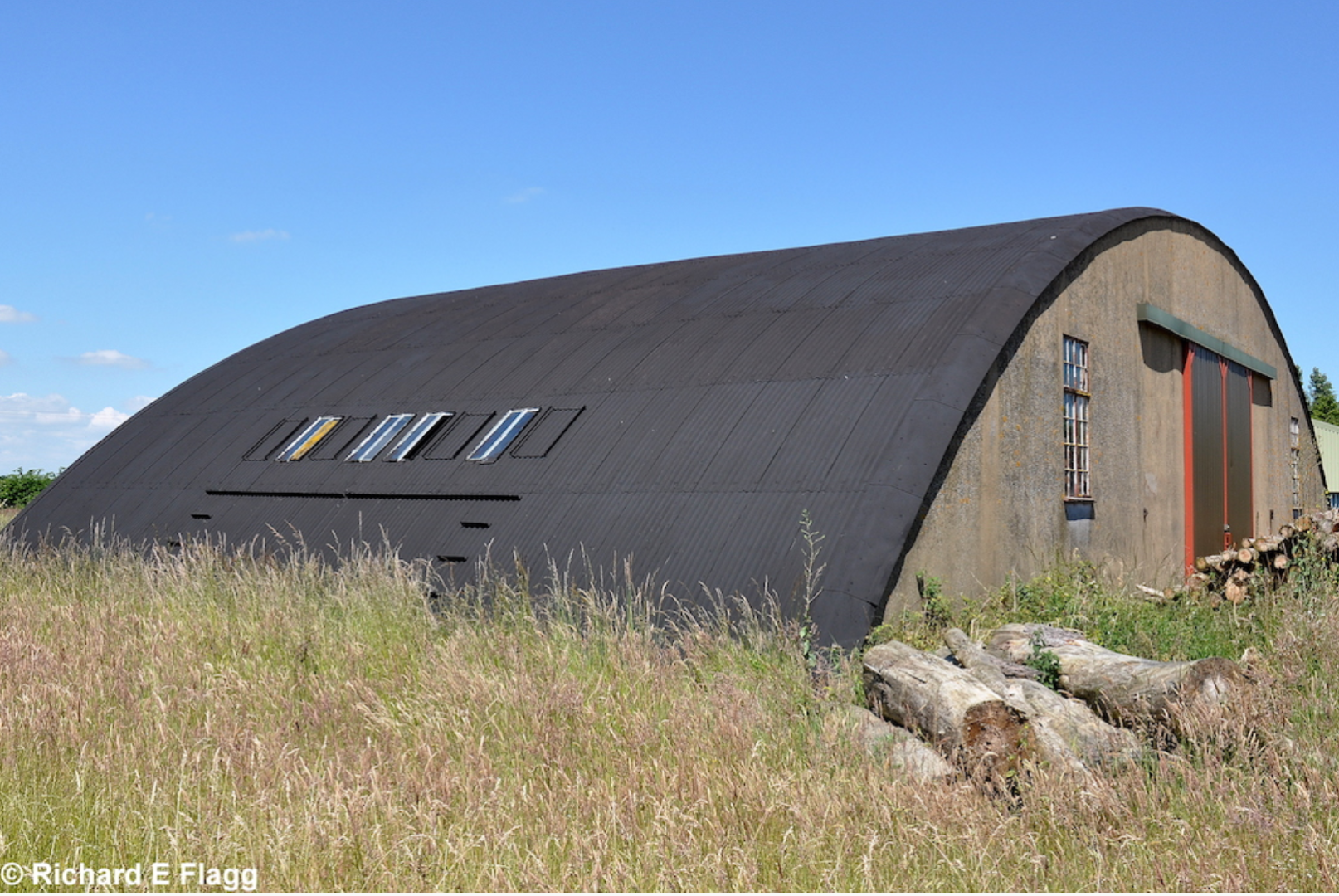
Blister hangar at Attlebridge, 23 June 2009. © Richard Flagg
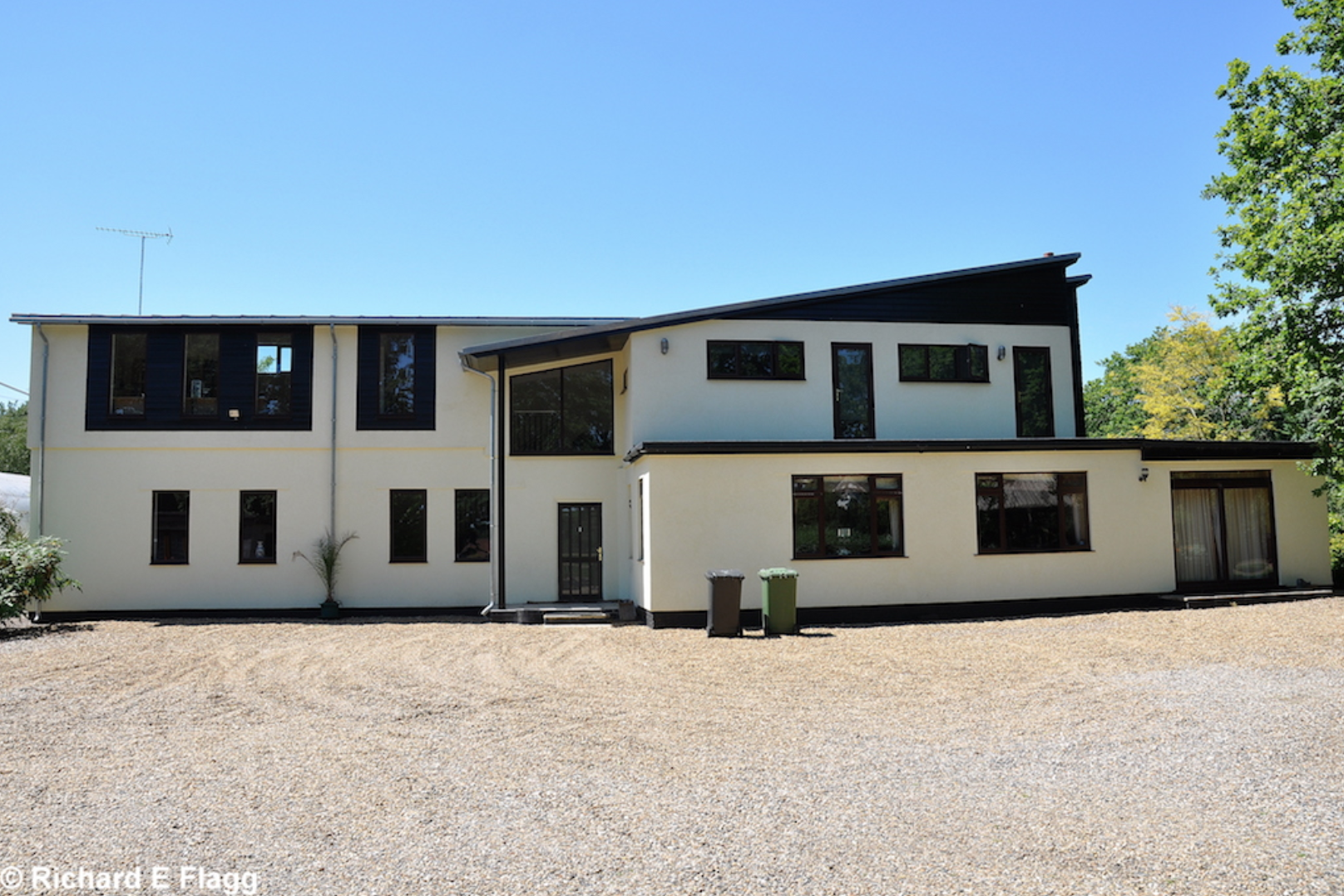
Watch Office with Ops Room for Bomber Satellite Stations at Attlebridge, 23 June 2009. © Richard Flagg
Aircraft hardstand at Attlebridge, 10 May 2014.
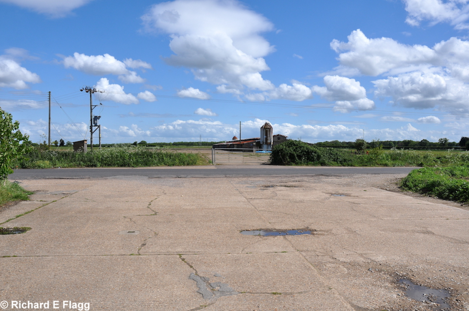
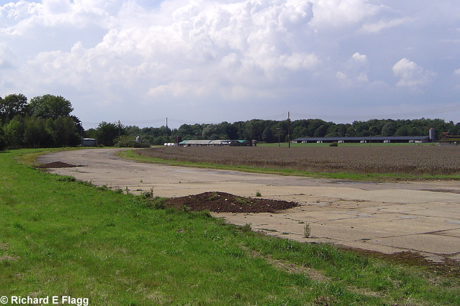
Runway 14:32, looking south east from Honingham Road, 10 May 2014. © Richard Flagg
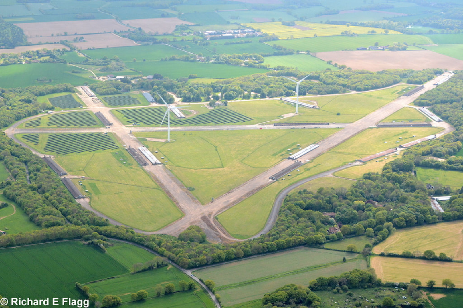
Aerial view of Attlebridge, 13 May 2017. © Richard Flagg
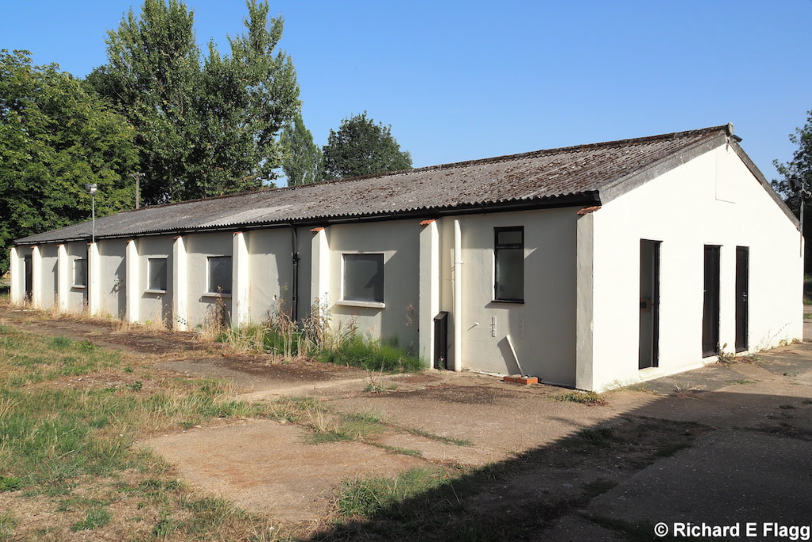
Speech Broadcasting Building at Attlebridge, 6 August 2018. © Richard Flagg
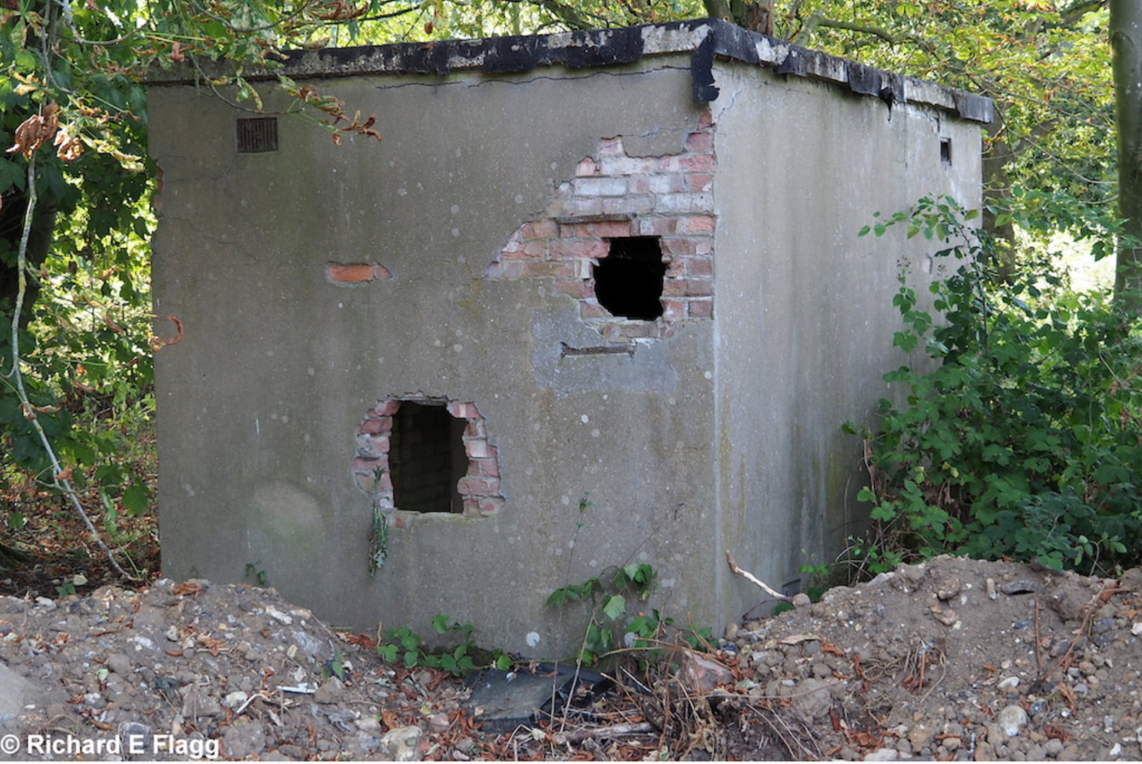
Armoury at Attlebridge, 6 August 2018. © Richard Flagg
